
Hiking in New Zealand
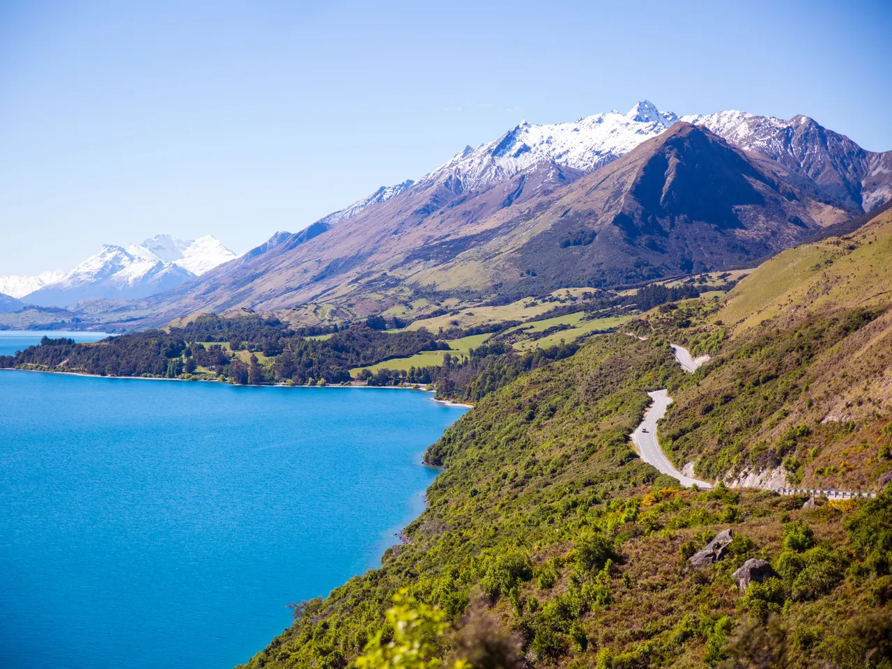
New Zealand
Marked tracks you can start from a car park
Named walks and national-park tracks are signed, mapped, and built for visitors. You start at a trailhead, not a rumour. Huts and day walks sit on the same network. Weather is the constraint, not finding the path.
- Signed trailheads and park tracks
- Day walks and overnight huts
- Maps and start points a visitor can use
The vibe
Walking here means stepping straight into raw, glaciated backcountry where the weather turns on a dime and every ridge reveals another uninhabited valley. Summer through early autumn brings the most stable tracks, though you still need to pack for four seasons in a single afternoon. It feels satisfyingly self-reliant, requiring you to book remote Department of Conservation huts well in advance while sharing the trail with an easy mix of locals and international backpackers.
book huts online before you go

Abel Tasman Coast Track
Tasman
Christopherson / Wikimedia Commons (CC BY-SA 3.0)
A stunning coastal trail winding along golden-sand beaches, sculpted granite cliffs, and turquoise tidal estuaries at the top of the South Island. Ideal for a relaxed multi-day trek or segmented day walks with water taxi support.
Access. Trailheads at Marahau or Wainui can be reached from Nelson or Motueka. Water taxis and kayaks provide flexible point-to-point access.
Notes. Check tide timetables carefully, as certain estuaries can only be crossed within a specific window around low tide.

Cathedral Cove Walk
Waikato
Javier Sánchez Portero / Wikimedia Commons (CC BY-SA 3.0)
A scenic coastal walk descending through native coastal forest to a magnificent marine reserve featuring a giant natural stone archway linking two secluded sandy beaches.
Access. The main walking track begins at the cliff-top car park at the end of Grange Road in Hahei, Coromandel Peninsula.
Notes. High visitor numbers during summer; check for occasional track updates following coastal erosion storms.

Hooker Valley Track, Aoraki / Mount Cook
Canterbury
Christian Mehlführer, User:Chmehl / Wikimedia Commons (CC BY 2.5)
An exceptional day walk that traverses swing bridges across glacial rivers, leading up to an iceberg-speckled alpine lake directly beneath New Zealand's highest peak. The scenery features towering icefields and jagged moraine walls.
Access. The trailhead starts from the White Horse Hill campground and parking area at the end of Hooker Valley Road near Mount Cook Village.
Notes. Exposed alpine weather can bring sudden winds and cold temperatures even in summer.
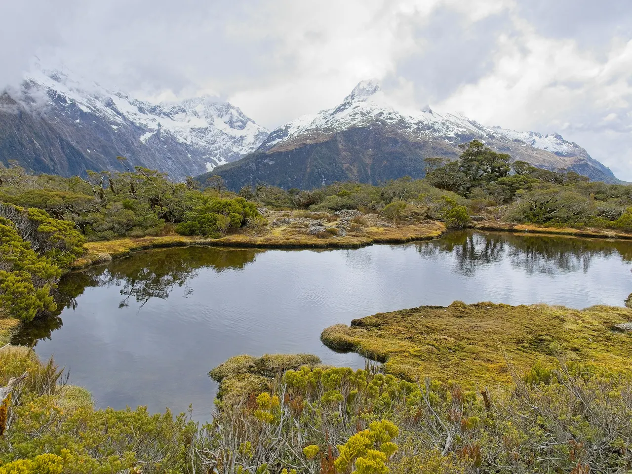
Milford Track
Southland
Thephotokai · Pexels
Known as the 'finest walk in the world', this classic multi-day trek leads through glacier-carved valleys, dense temperate rainforests, and past towering waterfalls beneath towering granite peaks. The route culminates at the breathtaking Milford Sound.
Access. Starts at the head of Lake Te Anau (accessible by boat) and finishes at Sandfly Point in Milford Sound. Advance booking through the Department of Conservation is strictly required.
Notes. Quota system applies during the Great Walks season (October to April); independent hikers must pre-book huts well in advance.

Mount Taranaki Summit Track
Manawatū-Whanganui
Pseudopanax at en.wikipedia / Wikimedia Commons (Public domain)
A demanding volcanic climb up the symmetrical cone of Mount Taranaki, featuring steep scoria slopes and exposed ridgelines that reward climbers with panoramic views across the North Island coast on clear days.
Access. Starts from the North Egmont Visitor Centre, reachable by a paved road from Inglewood near New Plymouth.
Notes. Rapidly changing weather and extreme wind can make this climb hazardous; winter conditions require mountaineering experience and ice axes.

Queen Charlotte Track
Marlborough
grumpylumixuser / Wikimedia Commons (CC BY 3.0)
A spectacular ridge-and-coastal trek in the Marlborough Sounds, winding through lush coastal forest, historic bays, and high ridges offering uninterrupted views of deep blue inlets and island sanctuaries.
Access. Accessible by water taxi from Picton to Ship Cove, the traditional start of the trek.
Notes. Mountain biking is permitted on sections of the track during specific times of the year, so hikers should share the trail accordingly.

Routeburn Track
Otago
Andre Chalmers / Wikimedia Commons (CC BY-SA 3.0)
A premier alpine trek linking the Mount Aspiring and Fiordland National Parks, traversing soaring mountain ridges, mirror-like alpine tarns, and lush beech forests. It offers a perfect balance of grandeur and accessibility.
Access. Can be walked in either direction, starting from the Routeburn Shelter near Glenorchy (Queenstown side) or The Divide on the Milford Road (Te Anau side).
Notes. Advance booking for huts and campsites is mandatory during the peak Great Walks season.

Roys Peak Track
Otago
Earth Science and Remote Sensing Unit , Lyndon B. Johnson Space Center / Wikimedia Commons (Public domain)
A steep and relentless climb up a tussock-covered ridgeline overlooking Lake Wanaka and the dramatic Southern Alps. The summit panorama is one of the most photographed vistas in the country.
Access. Located a few minutes' drive from Wanaka township on Mount Aspiring Road, with a dedicated parking area at the base.
Notes. Exposed track with no shade or water sources along the route; seasonal closures may apply during lambing season (typically October/November).

Tongariro Alpine Crossing
Manawatū-Whanganui
rheins / Wikimedia Commons (CC BY 3.0)
Widely celebrated as one of the world's best day walks, this volcanic traverse takes you across active craters, vibrant emerald lakes, and stark lava flows. The challenging alpine terrain delivers dramatic vistas over New Zealand's central plateau.
Access. Access via shuttle buses from National Park village, Taupo, or Turangi, which drop hikers at the Mangatepopo trailhead and pick up at Ketetahi.
Notes. Weather conditions can change rapidly; proper alpine gear is essential year-round. Check volcanic alert levels before attempting.

Whirinaki Forest Te Whaiti Nui-a-Toi
Bay of Plenty
Pseudopanax at en.wikipedia / Wikimedia Commons (Public domain)
An immersive journey through one of the world's finest prehistoric podocarp rainforests, featuring giant ancient trees, fern-draped tracks, and cascading river gorges.
Access. Located inland from the Bay of Plenty, accessed via Minginui on the Thermal Explorer Highway.
Notes. Remote track network; check Department of Conservation advisories for track maintenance and river levels.